Plates & maps
Illustrations in the book
All 6 plates, maps and portraits from the 1921 printed edition, with the caption as it appears in the book and grouped by kind. Each one links to exactly where it sits in the text, so you can read it in context.
Portraits 1
-
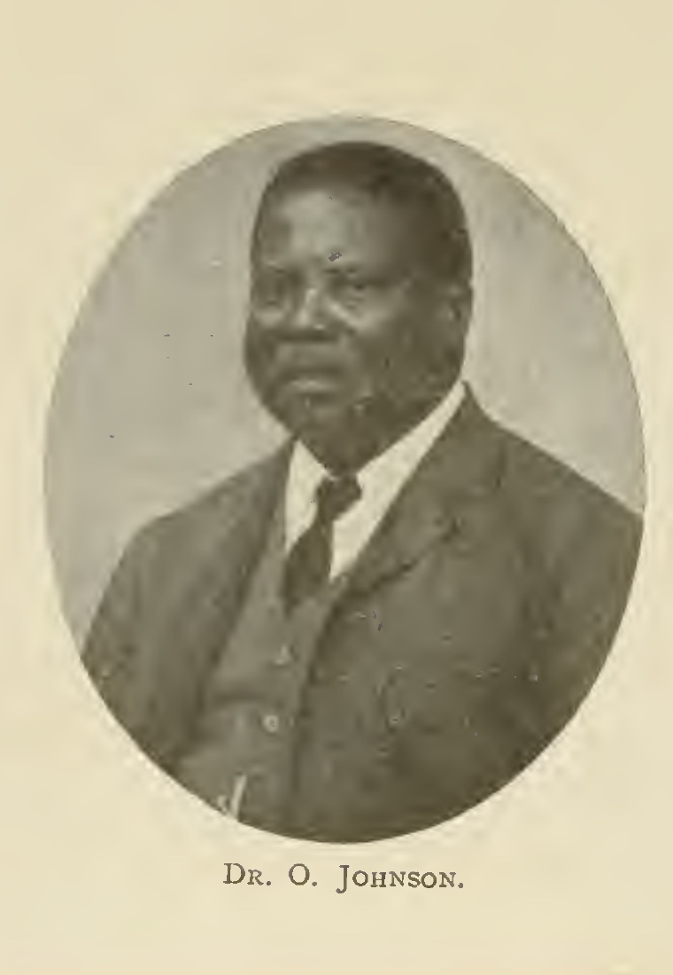
Dr. O. Johnson — the author's brother and editor of the work. Frontispiece of the 1921 edition.
Tribal marks 2
-
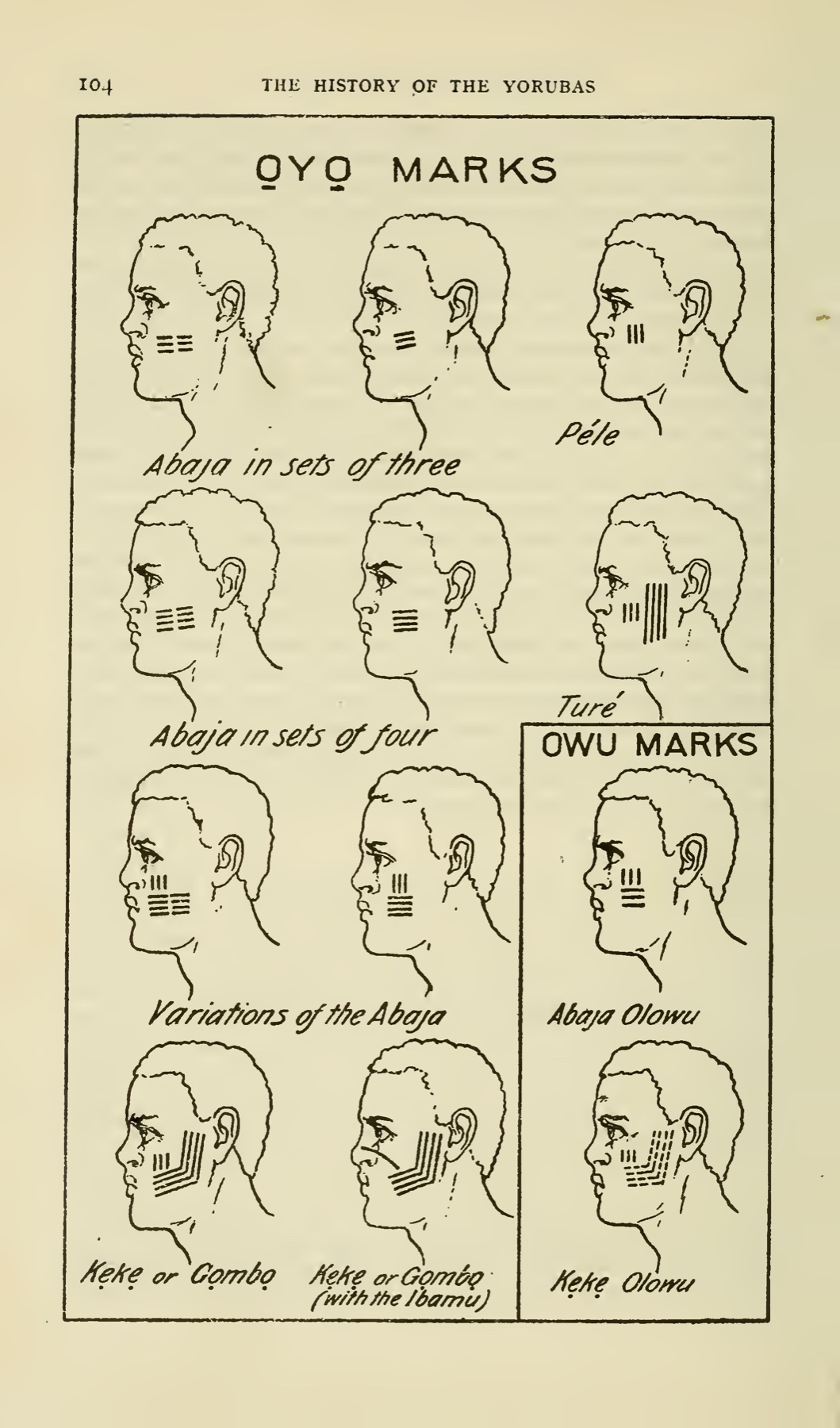
Ọyọ and Owu tribal marks — page 104 of the 1921 edition.
-
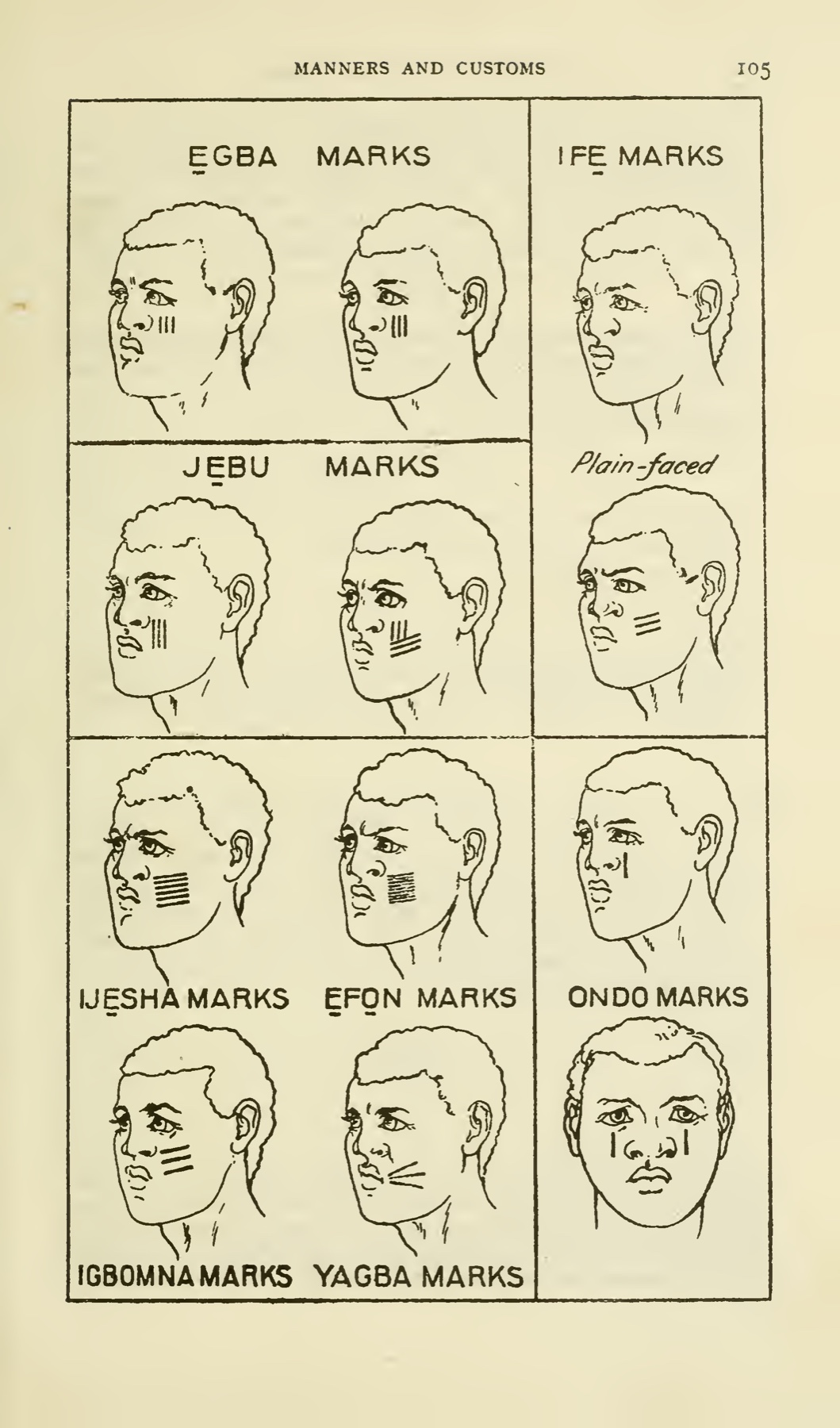
Ẹgba, Ifẹ, Ijẹbu, Ijẹsha, Ẹfọn, Ondo, Igbomna and Yagba marks — page 105 of the 1921 edition.
Monuments & antiquities 1
-
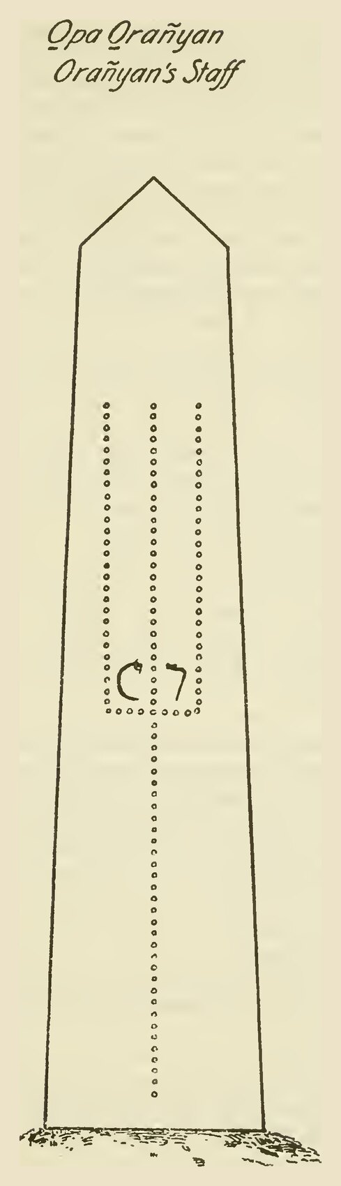
Ọpa Ọ̀rànyàn (“Ọ̀rànyàn's Staff”) — the carved granite obelisk over Ọ̀rànyàn's grave at Ilé-Ifẹ̀. Page 145 of the 1921 edition.
Maps & plans 2
-
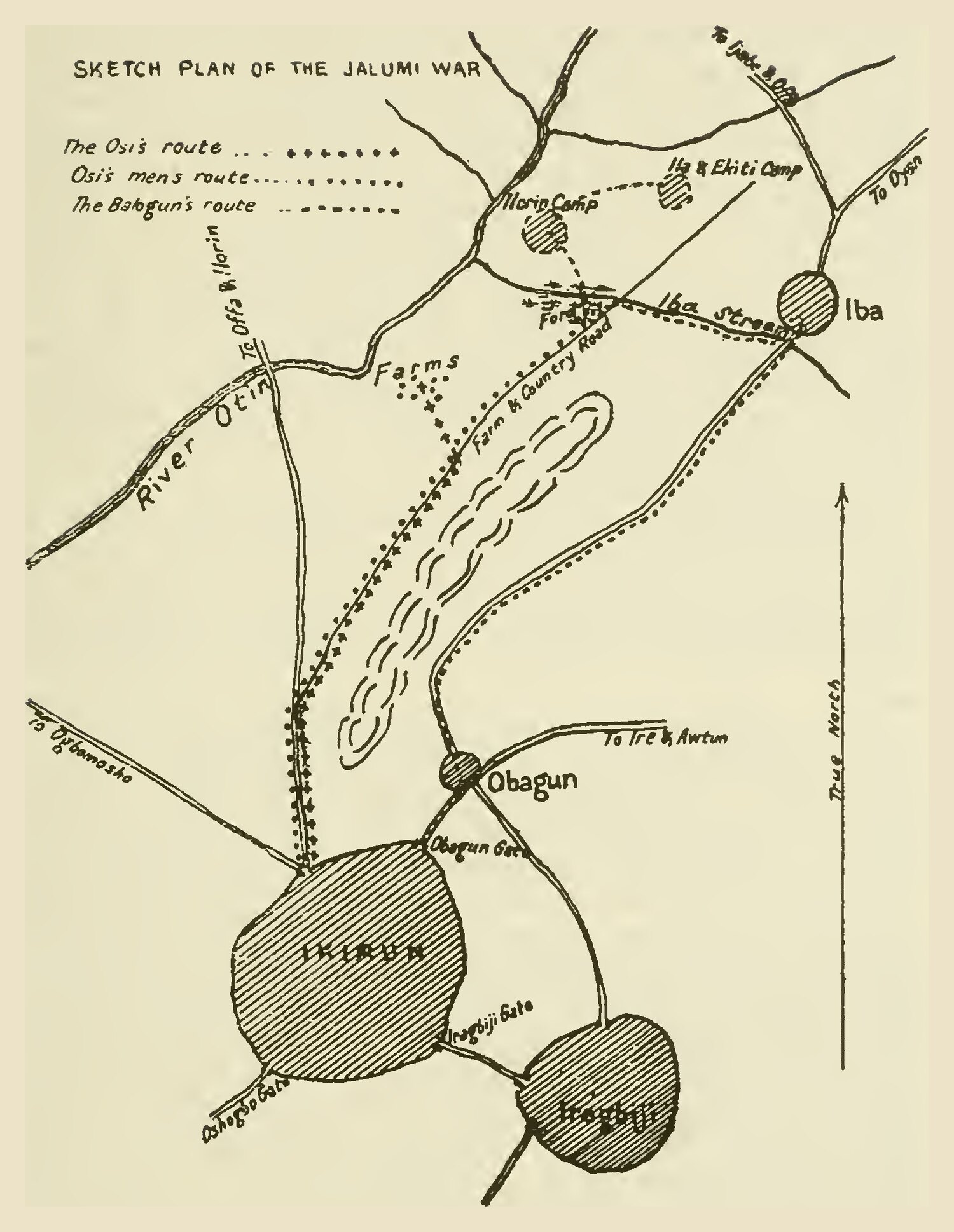
Sketch Plan of the Jàlumì War — the battle of Ìkìrun (1878). Page 433 of the 1921 edition.
-
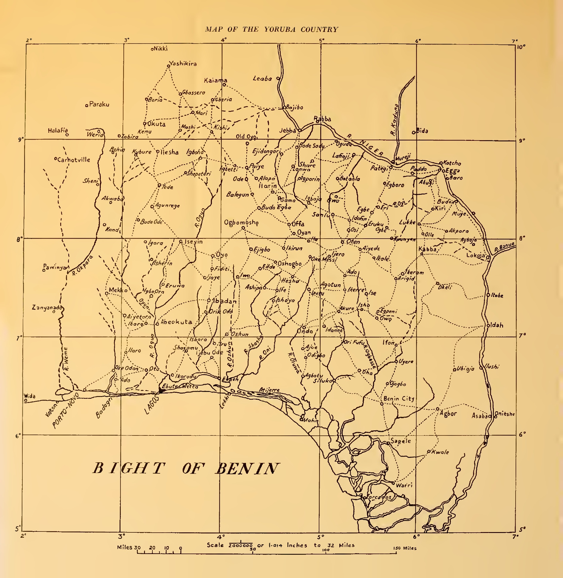
Map of the Yoruba Country — bound at the end of the 1921 edition.
Shown on the table-of-contents page; the printed book binds it after the index. →
Images are reproduced from the public-domain 1921 edition. Captions are transcribed from the book; spellings of place- and group-names follow our Yoruba-orthography corrections.